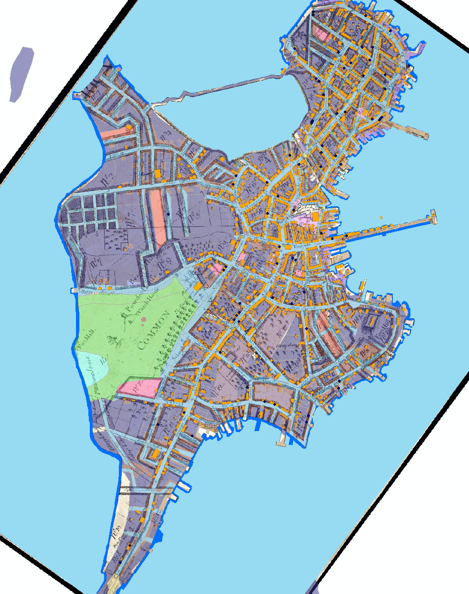
During our presentation on Saturday I talked about the process of aligning the different layers of data onto the same historical map of Boston. After explaining how the data worked together I talked about how maps can be used to both plan the game and also orient players inside the game. Maps are useful tools for keeping track of information, not just for players, but for game developers as well. To illustrate some ways our group has been using maps to plan gameplay, I showed how I have been using the map of Boston to plan where different sounds will be located in the game. These sounds will be heard by the player as they walk through the 3-D view of historical Boston.
 Loading...
Overall this experience has made me think critically about how to express complex historical concepts through more diverse media. Instead of just sharing history in museum settings or in academic papers, this game aims to look at historical ideas through a video game. Designing the game made me think about how to communicate ideas in a new format. On a more specifically mapping vein, this process helped me to visualize and understand aspects of colonial life better because I could picture a setting and a city layout. Being able to see where people live and how they arrange their space gives modern audiences a tangible way to understand history.